Sunday, June 12, 2016

Galapagos: Las Tintoreras (Isabella Day 3)

Las Tintoreras


This morning is our small boat and snorkeling trip. I am begining to see how all of these little adventures are pages out of a larger tourist attraction book. The tour has picked the ones that meet their theme, and the guides are trained to deliver that experience. All the while pointing out the various indigenous and invasive species.

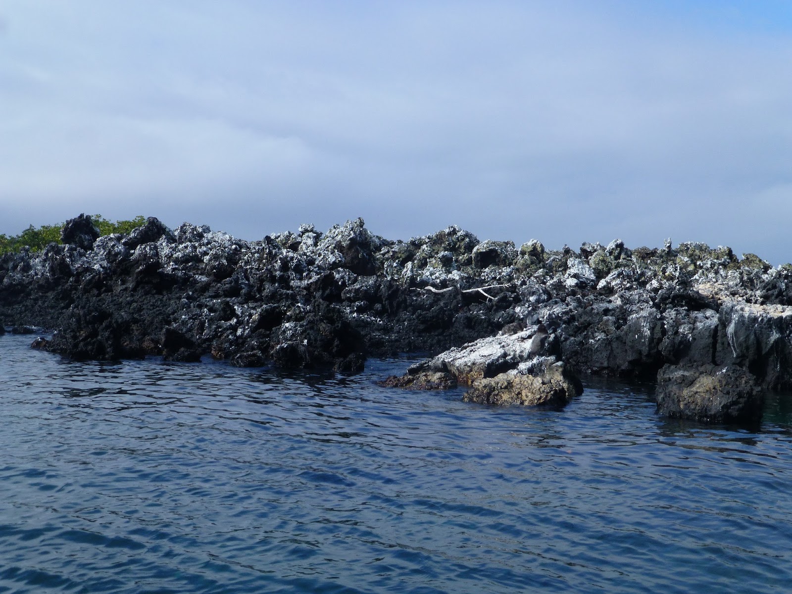
Today, we put on our swim shorts (and our sunscreen) and headed out in one of the small water taxis for a look at Las Tintoreras. This is a low lying lava reef area right across the bay from the town and the frequent home of lots of white tipped reef sharks. These sharks are called Tintoreras in Spanish and the rocks got their name from them. I sort of thought it might be because the rocks themselves have white tips from the algae growing on then. Note that it only grows on one side of the rocks.


White Tip Rocks?

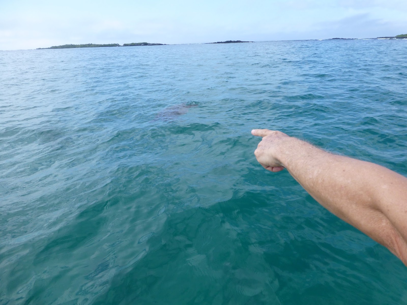
Sea Turtle!!! Sea Turtle !!

Pablo says hi to a baby sea lion


White Tipped Reef?

The rock formations are such that there are many parallel runs of lava that form channels that the sea runs through. The one meter long white tip reef sharks like to swim through these and find places to rest. Our tour boat took us out to a little park on the island where we could follow a trail around to view the sharks and the little marine iguana. There was also a good supply of sea lions playing in the little bay at the end of the trail. The lava rock in this area is the Ah Ah type lava (very sharp to walk on) and all of it is very low and flat. The only vegetation growing out here is the Mangrove since there isn’t any fresh water. A lot of Frigate birds flying around. William told the birds were here because this was the season for newly hatched Marine Iguana and the Frigate birds prey on them when they come up on the rocks to catch the sun.

Hungry Frigate

They sort of Blend right in, don't they?


Sea Lion waving hello

Sally Lightfoot Crab

We had to step over the baby to get back into our boat

After we had our walk, we were all pretty hot and looking forward to the snorkeling activity. We were going to do this from the boat. Not sure why, but doing things with strangers of unknown skills and abilities in the ocean is not something that I look kindly on. Probably the old boy scout life guard thing cutting in. We did have the two nature guides in the water with us and we had two more safety crew in the boat watching. But those guys had the engine running and that is something I was taught you NEVER do with people in the water. At one point I was in the water and saw the propeller spinning 10 feet away from my precious toes. hmmmm.

And people who have never gotten into the water from a boat just invariably hesitate. The whole manuaver of getting over the side looks a lot harder and scarier than it actually is.

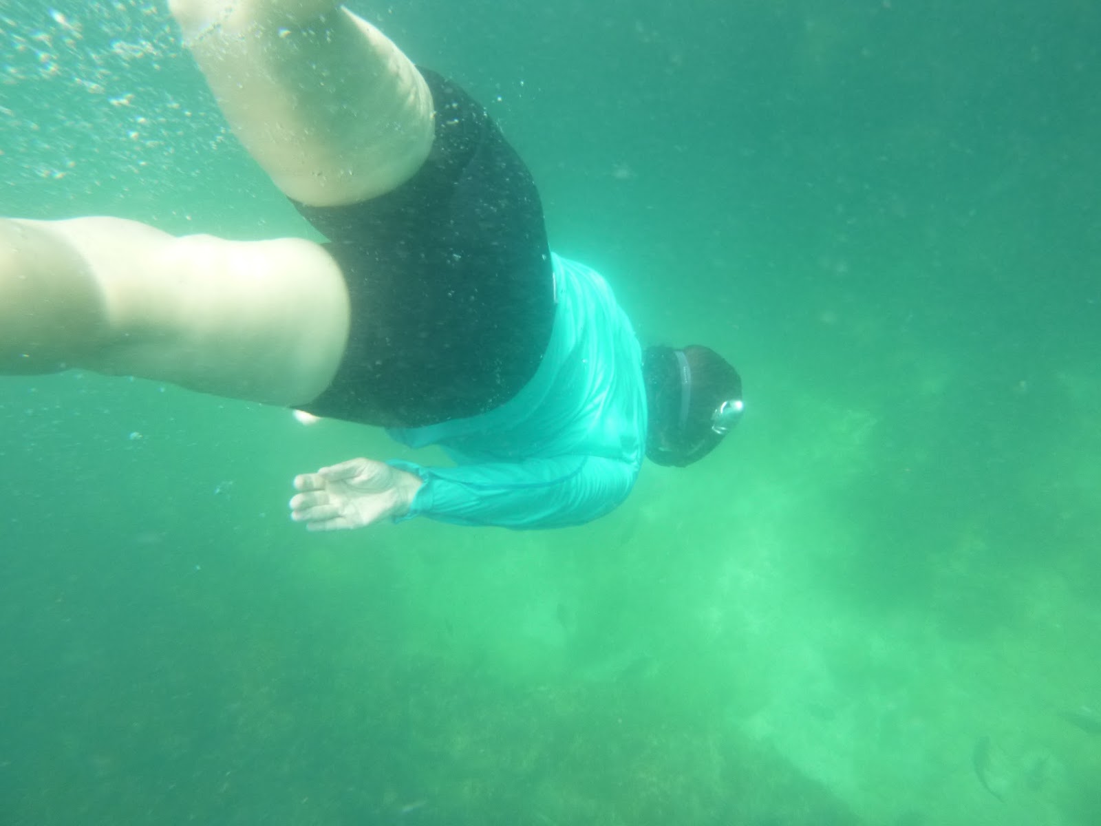
Pablo Swims with his turtle


My Partner says high to a big guy

I think this is where I flooded my camera.
Once in the water, it was like herding cats. Even when I tried to keep up with our guide I had a hard time. He kept harrowing off after a sea turtle and losing me. Especially if I saw something I wanted to watch or if I was trying to find my partner (who was after something she was trying to watch).

My Partner and I were having a good time in the water, however. She and I did some frolocking. For a while we were in relatively deep water with those same parallel lava flows that we saw on land, only these were 20 feet deep. I was having fun diving down there. My one deep dive (perhaps 30 feet) I left my camera with her to take my picture. But I wasn't careful enough because when we got back to the surface and into the boat, I found that my camera had flooded. I think it is destroyed. I will post and mark the last picture I took with it. Sort of a tradition at this point to post the last pic of my flooded cameras. (Special note. After I got back to the States and let the camera dry for a week, it is working again !! Of course, this means I don’t have a good excuse to get a new one that has a deeper operational depth). Eventually we all were rounded back up into the boat and headed back to the hotel to get ready for our afternoon adventure.


Hey, this guy is pretty

My Partner does a deep dive

Oops. Equipment Malfunction !!

Let's try that again. Why is she holding her head?


I may have mentioned that this trip is a Road Scholar planned trip. This is a non-profit educational organization that specializes in teaching people about the world. It seems to be mainly targeted at older customers. In fact, the organization used to be called Elder Hostel. Every tour has a theme and a title. This tour is called “Survival of the Fittest”. It is supposed to be focusing on the Science and History of the Galapagos, but also supposed to have challenging physical events each day. Now, since this is a tour for older peoples (like me) the challenges are appropriately weighted, but still, they were sufficiently adventerous (Like I bet half of the graduating class of the local high school would have had some problems…). We have already had the Kayaking, Paddle Boarding, stair climbing, Snorkeling, and Volcano Rock Hiking. Sort of running out of adventures. So I think they were grasping at straws a bit when they added this next thing, which was bicycle riding.

Setting out on our Bikes

The 18 of us walked down the dirt road from our hotel for 100 meters to the bike rental shop where we were all issued off-road bikes. All with big tires and questionable gear shifters and brakes. Now, they were great gear shifters and brakes at one time, but the salty air and sunshine has made them more..... questionable. My brakes, for instance, would stop me quite adequately but only if they also emitted a noise that sounded like a clown car horn. Sort of fun, actually. Also, the seats were approximately the size of a infants first shoe and specially design to cut right into your butt bone. Should have brought a pillow from my room.

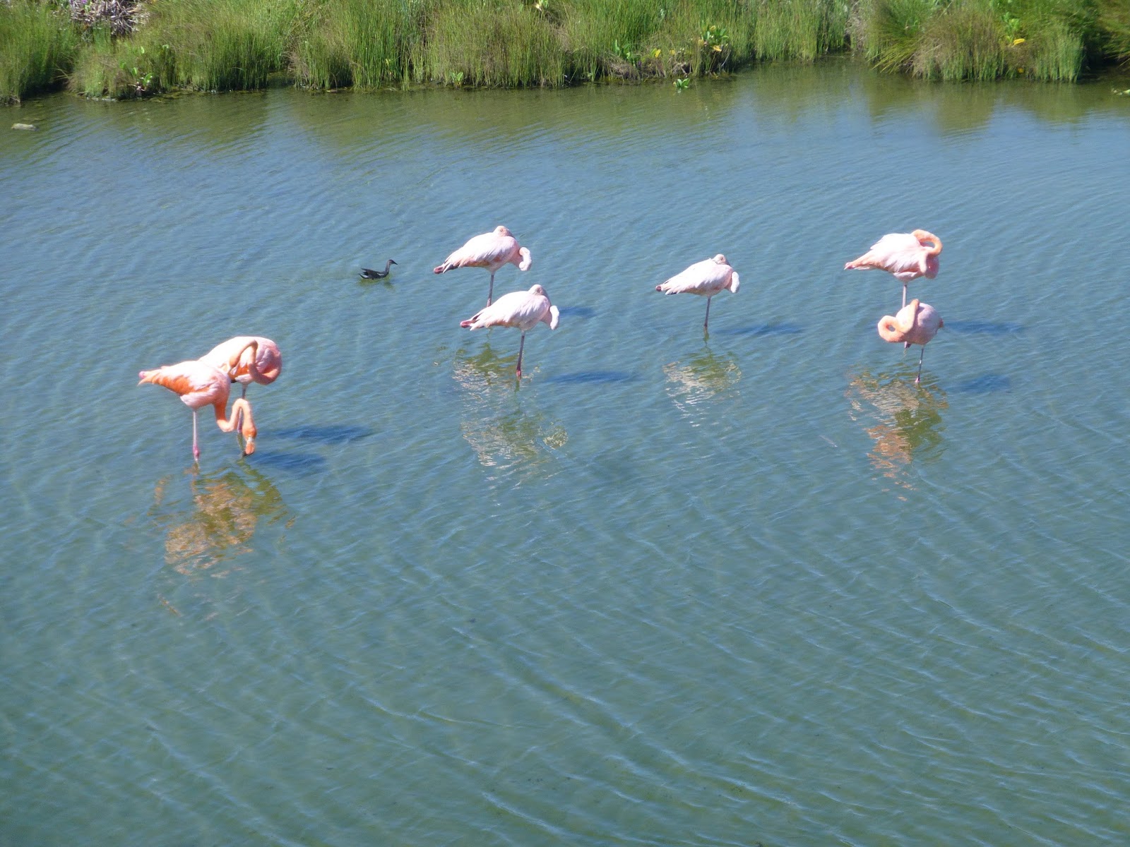
So now that I have told you how painful it was to ride these bikes, I am going to tell you that we didn't really ride them very much. Just.... maybe 1K, across town and out to the Water Purification plant, which happened to be right next to a pond where we saw Flamingos.  Is it funny to say “These bicycle seats were so uncomfortable, and the ride so short”?

The pond was an old quarry for lava rock, presumably for building the town, or maybe working on the prison that they were going to try building here. Once the hole was deep enough, salt water started to seep in from the ocean. The water in the small pond would evaporate leaving even more salty water behind. This overly salty water (brine) is where certain brine shrimp want to grow and those shrimp are what the Flamingos want to eat (and what turns them pink). So.  There you have it. Accidental tourist attraction. By the way, if you look to the west of Puerto Villamil (the town we are in) on google earth, you will see a few pink or bright red ponds. That is what I am talking about. I have seen the same colors when flying over the south part of San Francisco Bay. I had thought it was pollution at first but later found that the color (and the shrimp) are a natural byproduct of sea salt production.

This water isn't very red. Perhaps the wrong season. 


Next to the Flamingo pond on Isabela was a water treatment plant. Also called a Desalination plant. Water on the islands is a bid deal. There just isn't much fresh water anywhere. On islands as big as some of these, I would expect there to be streams or even rivers (Guam certainly has a lot of these) but I guess the geography (porous lava) and limited rain fall means there are no (all year around) sources of fresh water on most of the islands (Floreana is the notable exception).  So what do they do for water? There are underground aquifers, but these water sources suffer from sea water incursion and so are really sources of brackish water. To make things worse, the towns dump their sewage back into the same underground areas and so you have your sewage mixing with your “fresh” water source. Doesn't sound like a very ideal situation to me. This means that the more of a concentration of people that you have, the worse the water source is and (perhaps) the more suspicious the water coming out of the pipes.  On none of the islands do you dare drink the tap water. One more interesting water fact. You don’t flush your toilet paper down the toilet. There is a little covered basket beside each toilet and your paper goes in there. Turns out there is a remarkable amount of muscle memory associated with TP disposal. I had to “recover” my paper a couple of times. Now that I think about it, I have no idea if this paper practice is common throughout the parts of the world that I haven’t visited. How does one google such a thing?

Water Treatment Plant
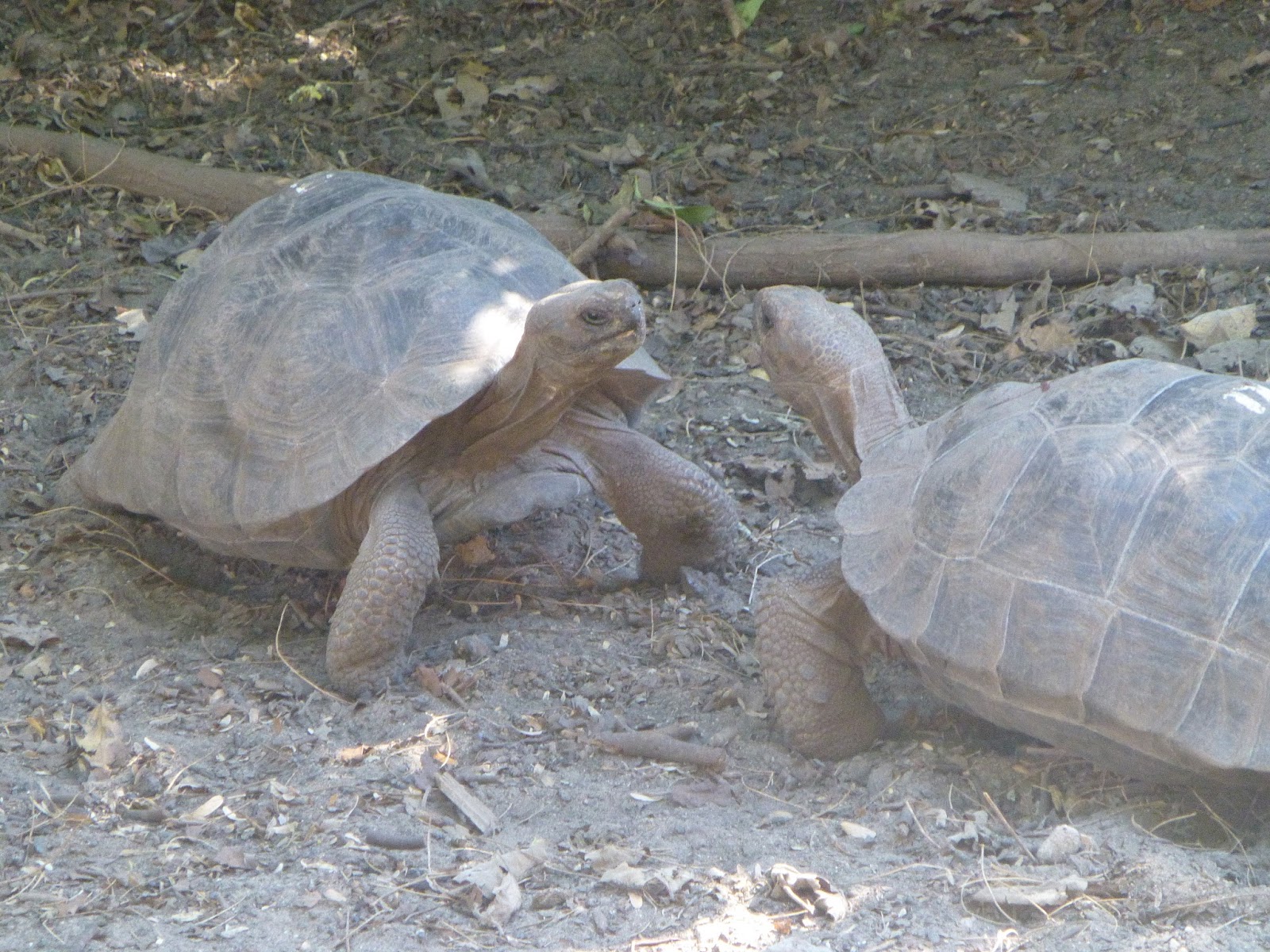
Next up, we went to the Tortoise breeding center that was on the other side of the water plant from the Flamingo Pond. At this center they are raising two different species of tortoise from Isabela island. I think that each species is identified by the Volcano that they evolved to live on. In this case we have the ones from Sierra Negra and Cerro Azul (oh, I get it, Black Mountain and Blue Hill), the two volcanoes on the south side of Isabela.  (fact check) I think there are still five species of Tortoise on Isabela. Perhaps the ones on the north side of the island are doing better because humans don't live there. Right now the thing that is killing off the tortoises are Rats, Cats, and Ants. The Rats are very hard to eradicate and eat the tortoise eggs and babies. I wonder if there are rats on the other side of the lava fields on the northern Volcanos?

They have a lot of tortoise here of various ages and they keep each of the age groups separate in different little enclosures. From the picture below, it is a little hard to tel if you are looking at little ones or big ones because of the scale. I mean, the babies look pretty much just like the big monsters. But there were a few hundred of the guys around. In one area they had raised covered boxes with the very little ones. These may have been the newly hatched and I suspect the screening was to keep out rats and such.  The eggs and the very young have a tough time out in the wild, though once they get big enough that the rats and cats can't bug them, I guess they do just fine.

In the wild, they live upwards of 125 years and don't become sexually mature until around age 25.


These guys were practicing their dominance
They are just shoebox size. Little. Still, the longest Neck Wins

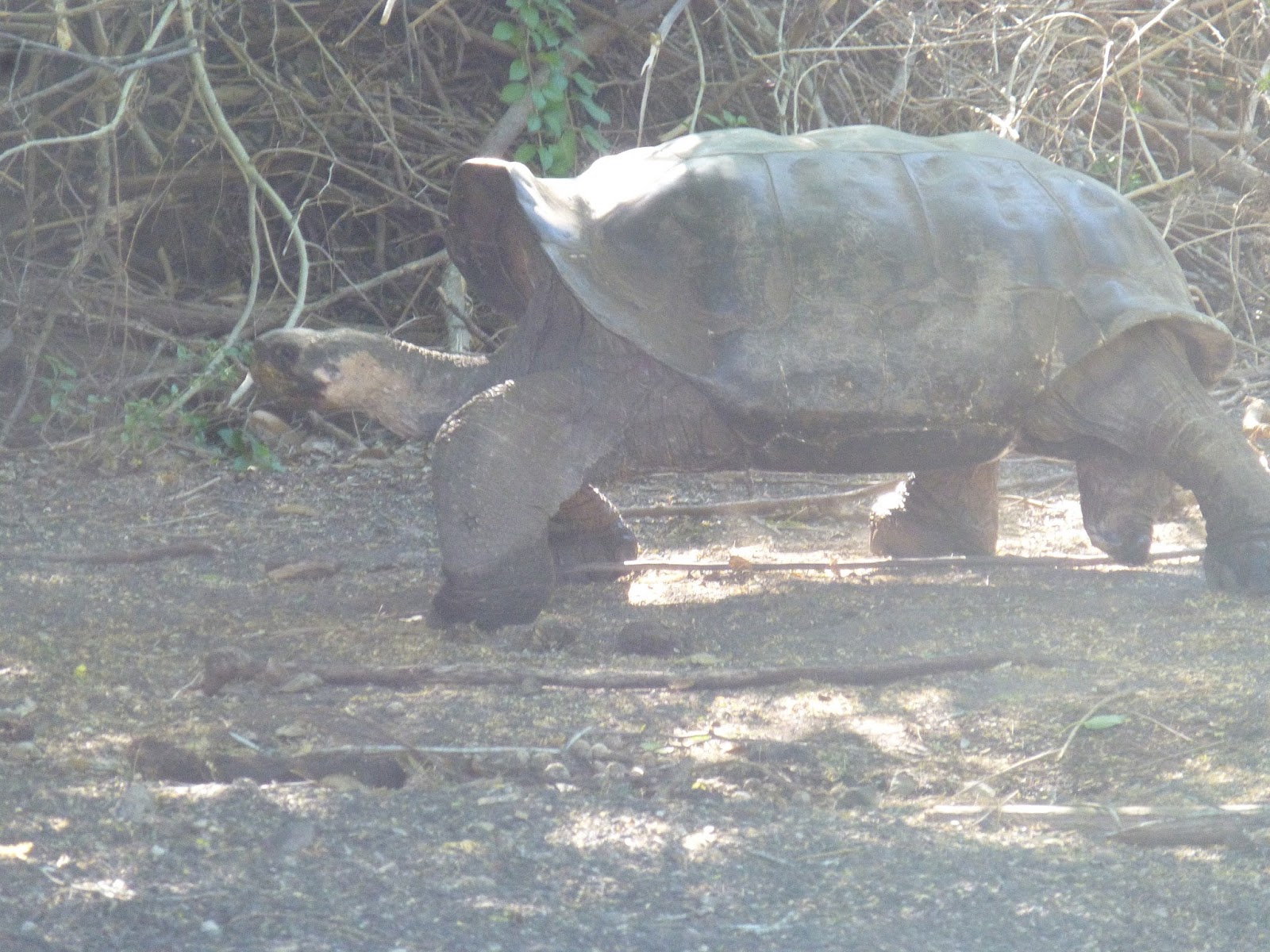
This is a huge old one. He is of the intermediate species between
Dome Shaped and Saddle Shaped.


I am very proud of this selfie.
One thing to warn you about visiting the Galapagos. It is HOT down there. The sun is very intense and the humidity is high. It is often hard to find a way to cool yourself down. My partner had a very hard time with the heat out on the bicycles. I think she wasn't sweating enough. I had a hard day on the Floreana Viewpoint hike. I was OK at the top, but was getting very hot by the time we got back to the cabins. I didn't have the right clothing. I had brought a number of long sleeve tech sun shirts (from Columbia, the store, not the country). They were good at stopping the sun and protecting my neck and arms, but they were to clingy and warm. I think I needed something like loose fitting cotton shirts. Not T shirts, something more stand-off-ish.

My point here is that we were all getting too hot on this little bicycle jaunt. Even the five minutes in the air conditioned gift shop at the Tortoise breeding center didn’t cool us down. My partner was too hot and when we dropped our bicycles off back in town she was pretty done in with imminent heat exhaustion. We had wanted to take off on our own and go snorkeling, but we didn’t have it in us. We went back to our room and cranked down the AC. We felt a little bad about not getting out snorkeling, but the beach for that was just too far away (a 40 minute walk). We did eventually get out on the very nice beach in front of our hotel and take a little dip there, just as the sun was setting.


Monday, May 30, 2016

Galapagos Adventure: Vulcan Negra (Isabela Island Part 2)

Vulcan Negra (Sierra Negra Volcano)


This is our long, hard adventure of the trip. The hike is advertised as a “very strenuous” 10-12 miles with beautiful views of the second largest caldera in the world. My partner and I had done some prep hiking back in the states. The first description that we read said it was a five mile one way hike with a 1200 Meter Altitude gain. That is one tough hike. So we practiced on a place called “Dog Mountain” which is a 1000 meter altitude gain over around 4 miles. So comparable. It kicked our butts. Well, my butt. So I read more about the Vulcan Negra hike and found out that the mountain max height is 1200 meters, but you start at the local park headquarters at 800 meters. So you only have to hike up for 400 meters. over five miles. Hell, that is nothing!

I was a bit worried about water, however. We have been hoarding disposable 500ml plastic water bottles and now had 2 or 3 apiece. So we figured we could carry 2.5 liters of water each. We hoped that would be enough for us. But now I am worried about the rest of the people in the group. Or, to put it more precisely, I am worried that they are not worried. I talked to our guide, Fernando. Is he sure that people will have enough water? He says that he is going to carry water for people and they can fill up off of his supply. Now how is he going to carry enough water for 16 people on a hot day for 10 miles? I should have remembered that he has done this before.

When we woke up in the morning it was not quite cold in our luxuriously air conditioned room. The power had gone off around midnight and stayed off until right at 6:00 am. Not sure if this is a daily thing or what. Breakfast was in the hotel. I am really liking the morning granola and yogurt.

Our Chiva Bus met us out front right at 7:00, and we all crammed in and we were off.


The little town were are in is only a couple of dirt roads and white brick buildings and it is all built on a large flat lava flow. As you leave the town you can see where people are plowing and filling the flow to make build able areas out on the outskirts of town so that new houses can be built. There is a new airport out there too. Certainly plenty of flat land for an airport.  Just Cactus and limited vegetation there now.

Morning Glory Monster 
When you start up into the highlands you meet your first island invader. Morning Glory vines have overgrown everything. It is a huge undulating mass of morning glory. Like the red weed from Orson Wells' "The War of the Worlds". As you continue to climb up the volcano you get to places of more and more water and you get more jungle like conditions. Lots of farms up here. Cows, horses, banana. Trumpet Flower. That must be invasive also. I think that everything with a flower is invasive. What pollinates the flower of an invasive plant anyway?

Trumpet Flower
It is pretty hot but as we continue to ascend we run into the cloud bank and things cool off. At the end of the road is a parking lot, a little picnic shelter to get out of the sun, and a building with the nicest bathrooms I have seen in 3 days. That was a surprise. This is where the hike starts. In fact, the hike is really a continuation of the road the has been blocked off to local travel. We climb off the Chiva, use the facilities, and start on our way.


Those trees.... the evil Guava
Pablo explains continental drift using local sustainable visual aids. Hey, is that my trekking pole?

We haven’t gone very far when Pablo stops us and gives us a long lecture on the geography of the islands. This area is where two tectonic plates meet and the resultant subduction pushes the molten layer close to the surface, where it then breaks through and forms volcanoes. The “hot spot” where the volcano forms stays approximately stationary, but the surround planes, and indeed the volcanoes themselves, are drifting slowly and steadily southeast. So, the further south you go in the archipelago, the older the islands are. Remember Floreana? It is a very old island. Its volcanoes have been weathered away and collapsed down to that central core. Isabella is a new and still active island. In fact, Isabella is really five volcanic islands that have grown together into one long wall of volcanic activity (and each Volcano has its own species of Giant Tortoise). The last eruption on Isabella was in the October 2005. Part of Vulcan Negra overflowed down the side to the sea in an area that we are going to hike today called Vulcan Chica (which means "little Volcanoes" or "children volcanoes").

As we continue our hike up to the rim of the caldera, we are shown our second invader. It is everywhere and I thought it was the Scalesia that is native to the area, but no, it is Guava. The guava is just everywhere. Every tree-like plant is a guava. Some are in the farmers farm. But everywhere else, they are growing wild.

The local birds (the Galapagos Finch) just love the guava. They eat the ripe fruit and then pass the seeds far and wide. The plant is threatening the local environment as it squeezes out the local plants and sucks up all of the water. I guess the government is trying to control it, would like to eradicate it, but how to do that?

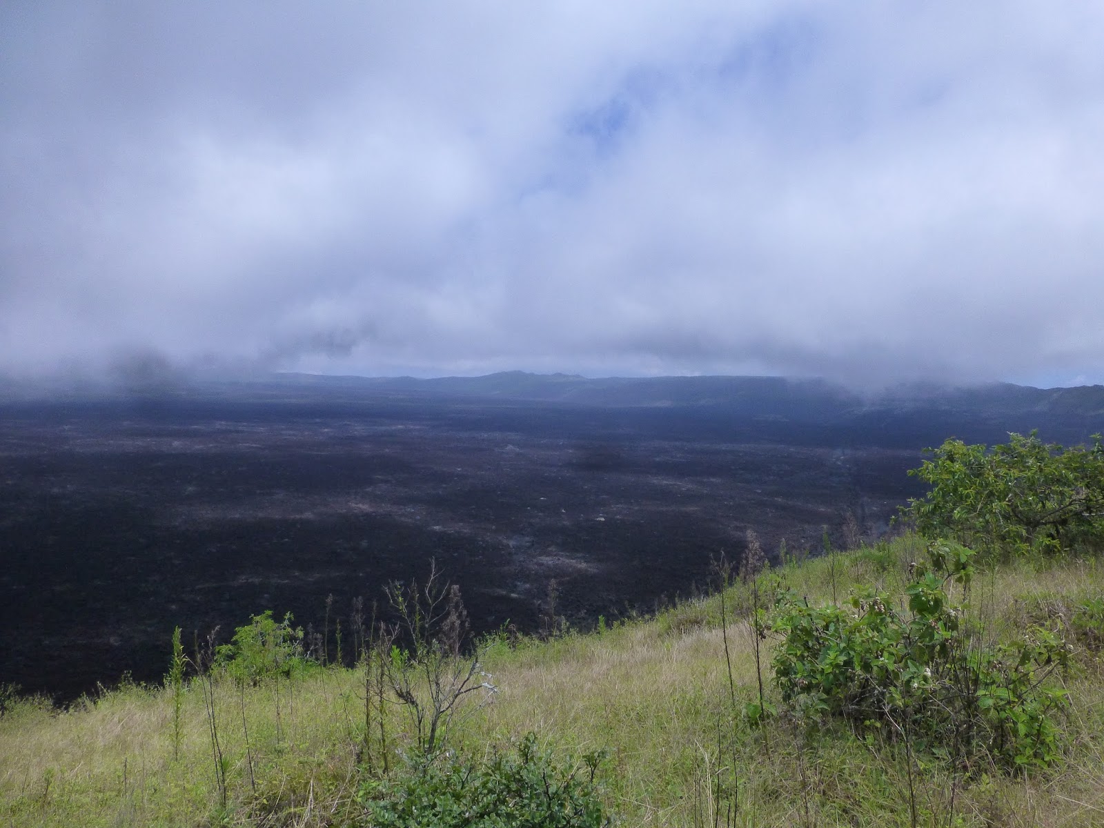
I was pretty worried about heat and water and this hike. But we had low clouds and moist cool air blowing on us and shielding us from the heat. That was good, except that the mist was also blocking our first view of the caldera, when we finally got to the rim. But oh my, what a view even with the clouds. The inside of the volcano is filled with a sea of black rock. Does that explain the name Sierra Negra?

A vast sea. I include pictures.


A likely Overlook


The next few miles of the hike is around the rim. This part of the hike is very easy, in fact the entire hike up to the Vulcan Chico side trail is on a jeep track. We even ran into a ranger truck out on the rim.

Lots of picturesque side places and we picked one for lunch.  (Editor's note: Some folks decided this was a great day hike and turned back at this point.  Not us.  Later we would look back on this trip and wonder why there wasn't any down time.  I mean, it wasn't at all like a vacation, in that we came home exhausted from all our adventures.  In retrospect, we discovered that we said "yes" to every little side adventure, and thus eliminated any rest and rejuvenation time.  A interesting discovery on our personalities.  I wonder if we'll get better at balancing adventure and rest?)

Then comes the more challenging side trek. You hike down the outside of the volcano for a few hundred meters until you come to the place where the most recent eruption (in 2005) broke through the caldera wall and came running down onto the plane.

We hike across sharp lava and frozen rock flows. You can see where the brown lava meets the black lava. There is a lot of iron in the lava, so as it ages out in the air, it rusts and turns reddish brown. The new lava flow is still black.

Feel the Heat?

This is just one weapon-like cinder. The group is covered with them
First you find the frozen cinders that were blown out on top of the old brown lava. These little cinders (millions of them, mind) are like miniature spear heads. You aren't allowed to bring anything home with you (not even a little tiny stone...) but I did take a picture.  After the cinders you find the frozen river of black that flows through the center of this little offshoot hike. Many lava tubes. Most of them just a few feet across, but a few big holes and possible tunnels that are tens of feet wide. Our guide, William, showed us a hole in the rock where you could feel the heat coming out. He said when it rains that steam comes out of that hole. From another hole we could smell sulfur.
 

Little Lava Tube
That is a lava tunnel. I think

My Partner looks down into a fissure.


This is the new flow out on top of the old flow. My colors are not so great here. I remember the new flow as being black

We had hiked over to the south side of the volcano. This meant we were now on the dry hot sunny side. So even if we were not out walking on highly reflective volcanic rock, we still would have been in the hot sun on a now cloudless day.

Our tour coordinator, Fernando, was along with us. In each hand he was carrying a 5 liter bottle of water, for people to refill their personal bottles. My Partner and I had each brought along 2.5 liters in various containers. We were very surprized that people were not carrying their own water and felt pretty sorry for Fernando lugging that water around by hand. I admit that I filled my personal bottle a few times from his supply instead of getting the water out of my pack just to try and make his load lighter.
A vent with life growing. I am betting that steam or
very moist hot air comes out of the vent after a rain

That is a flow, not a highway

That is a lava tube. on this part the top collapsed,
but in some parts you could crawl inside.
Fernando is carrying our water

Not much life out on the lava. But still a few things are trying. Inside some of the deep looking vents, around the edgs and mostly out of the sun, there were  ferns growing. I figure the hot air coming out of the vents must have a lot of moisture, perhaps a lot of it is steam from rain runoff into the lava.


A plant island in a sea of old Lava

The hike back out was a bit harder than the hike in. I actually think that going up hill is usually easier than going down hill, Well, steep uphill can be less slippery than steep downhill, anyway. But today, we were doing this last 400 meter ascent after already hiking 5 or 6 miles. So we were very happy to get back up to the rim of the caldera.

Things to do: look up difference between caldera and crater.
William and I had a little disagreement as to the difference of a Crater or a Caldera. I maintained that a crater was formed from an impact or explosion; like a meteor strike.  And that a Caldera was the inside of a volcano. William disagreed and said a Caldera was a kind of crater formed by a collapse of a Volcano.

The internet says: A crater is formed by sinking of the top of the volcano as lava weakens the rocks. On the other hand, a caldera is formed when the overlying rocks collapse to fill an emptied huge chamber of magma.

When I read this definition I think that the definition says a caldera and a crater are the same thing. But, it is on the internet so it must be true.

And all of this time, Fernando is still carrying water for everyone. He started out with two 5 liter bottles, one swinging from each arm. Now, I consider myself to be something of a scientist. I use metric quite often in my daily work-life. So please bear with me now as I ask "How much does 5 liters of water weigh?" See, this is little funny, because metric is defined around water. So a liter of water is a kilogram. So 5 liters if 5 kilograms. Now, if I just knew how much a kilogram weighed.....

The other thing that happened when we got back up to the rim was the mists had blown away and we had an unobstructed view of the entire caldera. or perhaps, the Crater.  Oh my. What an expanse of black lava. What an absolutely cool place to build a secret space ship launching station. Or perhaps just a cable car ride down the steep sided cliffs to the lava below. I am sure if you built it they would come.
This thing is SO HUGE


The last few miles are quite the slug. Hot, humid. Drink your water and keep walking.

We got home just in time to buy a bag of Hielo ($1.50 for a very small bag) and ice our very sore knees before dinner.

I think that is the store with Ice, on the left


Our Hotel