
Historic Route 30 through the gorge was the first dedicated scenic highway built in America and was originally constructed between 1913 and 1922. It was envisioned as a destination roadway that would take advantage of the popular and versatile Model T to move Oregonians through the beauties of the Columbia Gorge. It has stops and parking at the many world class water falls, that come tumbling from the uplands off of the gorge cliffs down to the Columbia, as well as many high sweeping vistas up the gorge and across to the mountains and cliffs of the Washington side. The highway's travel function was replaced in the 50’s by the new interstate 84 and some of the original route 30 was lost to the new construction. But much of the little road was in places that just didn’t make sense to put the big interstate and so it was saved in many beautiful sections. It is now preserved as either car accessible (and still signed) route 30, or Bike and Pedestrian only paved trail that is operated by the Oregon Parks service (and signed as Highway 30 Historic Trail).
Today, my friend Chip and I are going to ride our bikes on a 7 mile section of the “no cars” trail between the trailhead at Bridge of The Gods (Cascade Locks, Oregon) and the end of the “cars allowed” road that runs along all of the little falls (including Multnomah) from the West. This trail will take us by Eagle Creek and Bonneville Dam, amongst other places.
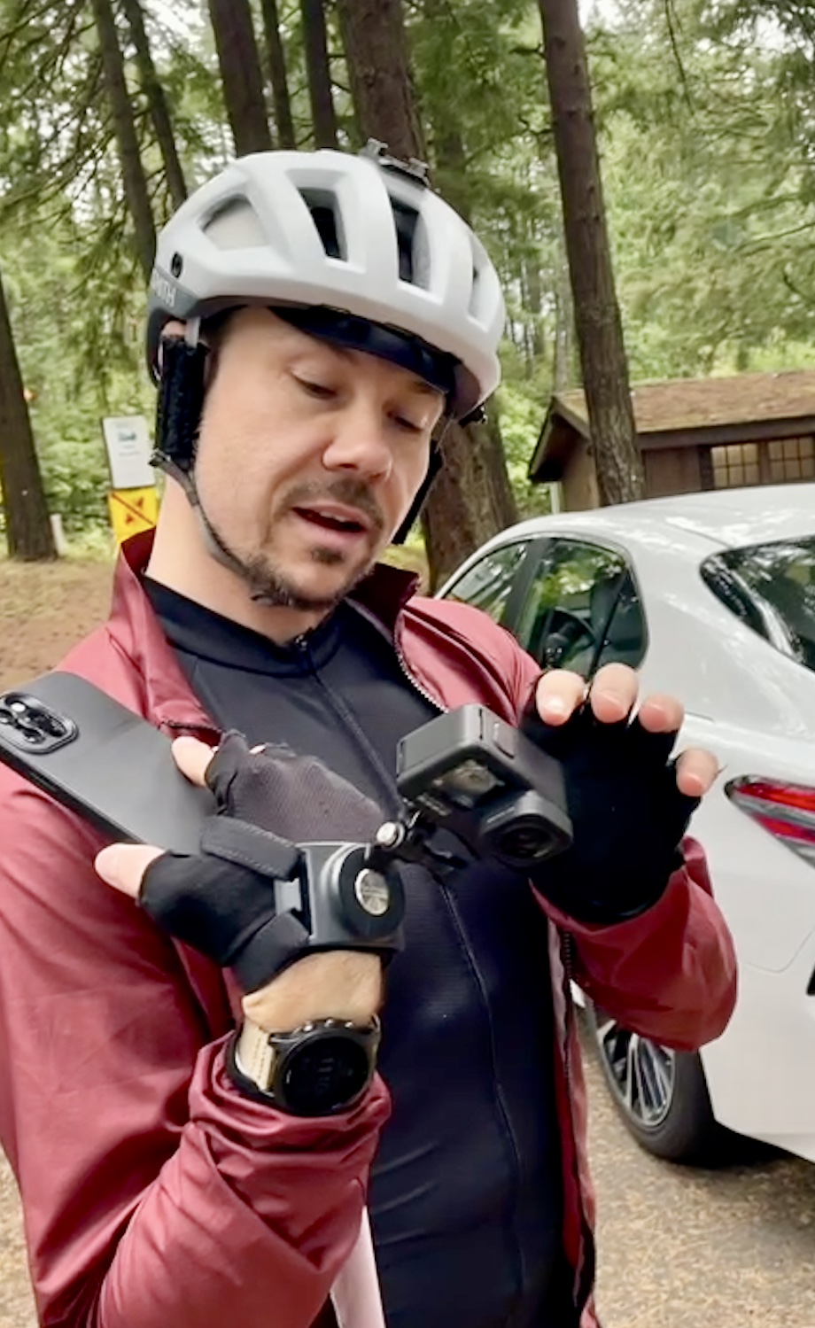
I am trying out some new technology today. It is my first long ride on unknown territory on my new eBike and my new titanium knee. Both have been fully charged and are ready for the adventure.
One thing I discovered, in my purchase of an eBike (besides, it is really hard to find an eBike during a pandemic) is that the things are very heavy (60 pounds) and so have special requirements when it comes to putting a couple on the back of a car. My Forester has a 1.25 tow socket and a limit of 250 pounds on the ball. I want to be able to carry two 65 pound bikes. There are a number of racks out there that can do this (none of these, by they way, can be hung off the trunk lid, you need a trailer hitch) and they all are very hefty and pretty expensive. I was advised to get one that was designed for the big tires and such on an eBike and I ended up choosing this baby from Thule: <link>.
Any drive up the Gorge is apt to be a nice one with beautiful views (well, if it isn’t snowing or pouring and the Gorge isn’t on fire) and today was no exception. People are getting out locally a lot more what with the pandemic limiting flights and such so the big parking lot at Multnomah falls has been very full and requiring online pre-registration for a while. Today, as we drive by, it is only a little over half full. We have had some rain lately, the first of the season, and after a very dry summer the extra water is very welcome. The little seasonal waterfalls that come tumbling down off of the high gorge cliffs are starting to run again and they decorate the steep highlands with silver and glitter. Many of the falls are not visible from the interstate, but if you were to take the time to drive down historic route 30 (from, say, Troutdale to where you are forced back onto 84 right where we are going biking) you would be driving down a road that was designed to view and highlight all of these pretty little natural wonders.
We pull into Cascade locks (which we will explore later) and find that the biking and hiking trailhead for the route 30 trail is closed off for some maintenance work on The Bridge of The Gods (which is right overhead). This is one the few bridges that crosses the Columbia river from Oregon to Washington. This one has the rather overstated name in honor of an indigenous peoples legend about a land bridge (perhaps caused by an earthquake or volcanic eruption) the was said to exist in this location. This is also the only bridge in the gorge that is so very high up.
Since we can’t park at the route 30 trailhead, we will instead try the PCT trailhead that is just around the corner. In fact, you have to go up the entrance to the Bridge ramp to get to the trailhead parking. We get there and the parking lot (8-10 slots) is empty. 5 minutes later, it is full. Go figure. Also, there is a nice restroom at this location.

 |
| chip gets his electronics in order |
The parking lots at parks along the Gorge are a mixed bag, some are run by the state and are free. Some are run by the state and require an Oregon state parks pass. This PCT trailhead is run by the feds and requires a NW Forest Pass. My wife got me a US Seniors pass for Christmas last year. If you are old enough and still get out, these are great passes. Not only do they work for NW forest pass, but they work for other federal lands (like all National Parks) and get you discounts for camping sites and such.
The Bike-Pedestrian-only path starts (or ends) right under the Bridge, so we coast our bikes over there. From here, we will head west. This path is essentially a one lane paved road, used by pedestrians and bike riders. No motorized vehicles are allowed.
 |
| My New iBike. A Cannondale Neo3 |
When my partner and I were out looking for a eBike for her (so she could keep up with me) we saw a little sign on one of the bike displays at REI. It said something like “The state of Oregon doesn’t differentiate between eBikes and Motor vehicles. It is therefor illegal to ride an eBike on a Oregon State Park Trail. “
This is a little crazy. You see people riding eBikes on any paved trail at any state park you go to. In fact, forcing these bikes onto the road would not be a good thing and would only upset both the bike riders and the motorists. The trails at Fort Stephens state park (out near where the Columbia meets the ocean), for instance, are designed to keep the bikes away from the road (and give bikers and walkers a more natural experience). I am suspicious that the ‘ebikes are motorcycles’ rule has been re-evaluated or the rangers just decided that it was nonsense. The fact that the pandemic has pushed eBikes to become ubiquitous, at least around Portland, probably influences this.
Wow, a lot of talking and not much bike riding.
Here we go.
Starting off heading West and we are at first just a cement standup barrier away from the on-ramp to I84. But we soon bear right and glide down a hill into a lovely wooded area. The highway is above us, the train tracks and river just below us. You can get going fast enough down the hill that the wind ripping through your helmet makes enough noise that you can’t even hear the trucks roaring by on the interstate. A ways along and we cross under the interstate (through a trail specific bridge) and get to an old part of the old road. All along here are intersections with a Gorge hiking trail (Trail 300, I believe) and also big nice signage about historically significant stuff. Historically Significant Stuff, I say.
 |
| historically significant sign |
Some of the Points of Interest:
Eagle Creek. The trailhead for one of the most beautiful hikes in Oregon. This trail was closed (and perhaps critically injured) by the big fire a couple of years ago. It is re-open now but I haven’t had a chance to see what damage has been done. For a couple of years I have wanted to do the Eagle creek hike out to an area where there are 2 unique falls, tunnel falls and criss-cross falls. Tunnel falls is a man carved tunnel under side branch of eagle creek. Problem is, these guys are 7 miles down the trail (so a 14 mile round trip). I need to find out if the trail even goes that far anymore.
A very steep set of stairs (5 or 6 flights) lift you up out of Eagle Creek basin back to where route 30 was originally. These stairs are a killer. They have a wheel well for you to push your bike up, but even Chip was a bit challenged to get up these things. I would have taken a long time except that my bike has a ‘walk assist’ mode and it help me push it up the stairs. I think next time I do this I will bring a length of rope. With a 20 foot piece of rope it would be easy to have one person in the lead, with the rope around his body and tied to the handle bar post, to help pull the bike up (or lower down) the steps. Do Not Fall. You go right out onto the interstate below.


Right about this area is the highest point on this ride and a beautiful sweeping view of the Gorge, Bonneville Dam, and Beacon Rock. Wow. You don’t get this view from any other people accessible location. Certainly not from the highway.
 |
| looking up river |


There are a few rivers that run through here. They pass under the highway and you don’t really see them from a car, but on this bike path you are down close and personal and have some very nice vistas of seldom viewed canyons, rapids, and rivers.

 |
| Cars Trains and Bikes |

We arrive at the parking lot at the West end of the ‘No cars’ section at the John Yeons Trailhead. There are some good views of the burn area and the dead trees left from the big fire that happened a few years ago. The fires often don't destroy the trees outright. The heat from the fire kills the trees but doesn't burn them. This leaves a lot of dead standing wood that I can only think will cause another fire sometime in the future.


 |
| dead trees from the burn |
We have traveled about 7 miles. Not a long bike ride, but pleasant and stimulating. And we do have the downward part of that staircase to look forward to. Let me warn you that going down the stairs is just as hard. If you walk on the left side of your bike, the hand you have on the brakes is activating the front wheel. This is non-ideal. Both Chip and I had the problem that if we went too fast (which was still very slow) our front wheel would lock and just slide. This forces you to stop the bike with your legs instead of using the bikes brakes. A little unsettling.


 |
| Bridge of the Gods, with a flight of military helicopters |
Bonus Adventure! Chip wants to go see Thunder Island and take a special Picture !!
Thunder Island is the (sort of) man made island that was created when the locks of Cascade Locks were built to get steam river traffic around the cascade falls (what, you thought Cascade Locks was where fine shackles were made?). The lock engineers dug over to the side of the river creating a passage (with a 30 foot drop for the locks) and the land left on the inside became an island. Now the lock mechanisms themselves are gone or but the concrete walls and footings and ramps are still there. You can’t actually see much of the locks themselves because the Bonneville dam raised the river (lake) water height to above the lower and middle locks, leaving just the top of the upper lock walls visible.
You can go over to the island on the little pedestrian bridge and walk around and look at the river. The island is nicely wooded, but also has a lot of grass and open area for picnic or sun enjoying. There is also a great location at the down river side of the island for an iconic view of the Bridge of The Gods.


By the way, in the same little park, there is also a boat landing where a (perhaps slightly non-authentic) stern wheeler will take you out for a tour of the lake and the dam and such. I believe they have a lunch and a dinner cruise. (link).
Another thing to look for is indigenous fisherman net fishing for salmon off of the old lock walls. The local tribes have arrangements to build platforms on the lock walls and can often be seen fishing there.
 |
| fishing platforms |
We rode our bikes out onto the island down to the end (through the grass). I don’t know if this was strictly legal or not, but there was not any signage to the contrary. This was only a 10 minute little diversion from our ride and then we pedaled back up the hill to our car. Now…. Time for lunch !!
No comments:
Post a Comment