John Day River, Astoria.
View Larger Map
I have joined this Meet Up group called Kayak Portland. It is a loosely knit bunch of people that use the internet application "Meet Up" to organize and attend kayaking outings. I had not heard of Meet Ups before, but they are evidently very popular. The young woman that runs this one does it as a public service and is very serious about keeping it free and accessible to all. I guess there are hundreds of members but they usually have 10 to 20 kayaks that actually show up to an event. I bet that more people show up at the events that are closer to Portland and occur during warmer weather...
But this trip was very pleasant. The sun decided not to come out (despite what the weatherman had to say) but the temperature was moderate and the wind was nill (and it didn't rain).
When I first saw the name of this trip, John Day River, I said to myself, "No Way", John Day River winds through John Day County and that is like a 4 or 5 hour drive just to get there, and I don't think that river is navigable by a flat water kayak.. need a white water boat for the parts of the river I have seen.
So what is up with that?
Then I notice the address..... Astoria. Astoria is the town at the mouth of the Columbia river. It is like at the other end of the state from John Day County. Could there possibly be two John Day Rivers? Yes. Yes there could.
How unreal. My Son, Daniel, and I did an exploration trip up through John Day County to the John Day Fossil beds and the Painted Hills and such. In the beautify little town of John Day we watched a deer run down the main street and then found a plaque that explained why everything was named John Day:
John Day was an early settler who traveled down the Columbia river. One night he made camp at a tributary that dumps into the Columbia and while he was there he was accosted by a band of Indians. They robbed him and left him naked on the river bank. Sometime later a passing barge saw him waving, picked him up and took him to safety. But from that day on people would point to that tributary mouth and say, "See that River? That is the one where they found John Day butt naked"
And so it became the John Day River. And so the county that it drained became John Day County, and so the hugely important fossil beds became the John Day Fossil Beds National Monument.
So how did he screw up to get the other river named after him? I will research and get back to you.
But for now, back to the Kayak trip.
I drove out highway 30 which winds down the Oregon side of the Columbia river toward the river mouth. It is an interesting drive, lots of foresting and log milling and other half abandoned little towns. And from Hillsboro to the boat ramp really was the 2 hour drive that Google Maps had predicted. The boat ramp at the county park is easy to find and well maintained. Bring $3 worth of dollar bills or coins to pay a parking pass. The tide was still on the make for this paddle and so we were riding with a little current.
The beginning of our little trip is a area of old floating homes and boat houses. They have a very protected area and easy access to the columbia. Of course, the Columbia River Bar is supposed to be very dangerous. Maybe these guys just stay on the Columbia.
 |
| The Big Boy on the River. He probably does the bar |


This John Day is a tidal creek, very reminiscent of the creeks back in South Carolina coastal lands. There isn't any obvious incoming river, but rather the entire current is defined by the in and out of the tide. Today was evidently a massively high tide. We saw a few trees that obviously didn't get drowned this often (or they would be dead) and our trip leader was very surprised by how much water was at the place that she thought of as the end of the line. We all wanted to go under the bridge, but Julie said no. Looking at Google Maps, I think it was a good call. At least at low tide it looks like there is nothing over there for a kayak. Hmm. It looks like even where we were may have been mostly mud.
 |
| The Bridge at the end of the line |


However, we had a nice 4 mile paddle (each way). Very calm and glassy water. Some very nice houses, and some pretty funky looking shacks. Most of the boats we saw seemed to be "under repair" also. Though it looked like a great little place to get away. You could hear the strains of "dueling banjos" echoing through the pines.
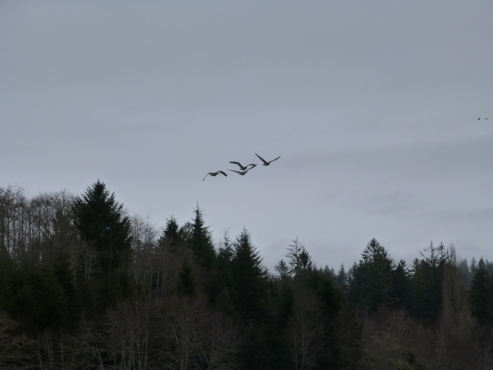
We saw Heron, Stellar Jay, Mallard, Cormorant, Kingfisher, Canada Goose, and Bamboo. The Bamboo was kind enough to not fly away. Much of the banks along here was dike. We couldn't see over it but I am guessing that the other side was drained land that is now under the plow.

 |
| See the Dike, there? |
 |
| Bamboo ! |
 |
| Julie called these: Three Identical trees in progressive states of decline |
 |
| Just a pleasant trip with new friends |

 |
| This guy had to have his antennae on the other side of the river. |
After the paddle, the Meet Up group has a tradition of going some place local for lunch. We went to this very cushy Bistro under the 101 bridge in Astoria and had a great lunch and conversation. I find that the people that come to these events tend to be older and extremely interesting individuals. Such a range of experience and adventure !! I will need to write a specific blog on that topic, but for now, how about some pictures of the views from the rest of the car trip:
 |
| The view from Lunch |

 |
| I bet this happens all of the time. |
 |
| We cut back through Jewel on the way home. Elk Viewing. |
 |
| And Subaru Viewing. |
So helpful and fun to read! Thanks. Hey, have you kayaked the Skipanon? If so, any thoughts?
ReplyDeleteI enjoyed your perspective! Thanks.
ReplyDeleteHey m.b., thanks for leaving a comment. Wow, this is an old blog entry.
Delete