Ramona Falls
Here is something a little different
from my usual hikes up the Gorge. Ramona Falls is on the west face of
Mt. Hood, underneath the Sandy Glacier. It is a bit of a drive to get
their, but if the day is clear the scenery can be nice.
This trip turned out to be cool and
cloudy (in the middle of July?) with not a sign of Mt. Hood anywhere
to be seen. And when we made the turn off near Zig Zag and drove
along the Sandy River for a ways I could see that the river was
running much higher than usual for this time of year.
This is a popular hike and there can be
50 or 60 cars in the parking lot when you get to the trailhead. But
it is a big lot and you will probably find a place. Don't forget to
get your NW Forest Pass before you get there, they do check them and
you can't get them anywhere near to the Trail Head.
The first part of the hike is nice and
flat and winds its way up a very sparse forest (I suspect lava flow
just under the service) and along next to the Sandy River. This part
of the trail is just about getting to where the Sandy river crossing
happens to be this year. They take the little bridge out every fall
before the snow and floods and then put it back in again the next
year. But it can move around a bit with the river channel.


After you cross the river, you hit a
little rise and find yourself in the center of the Sandy River flood
zone. If they day is clear, this is where you get really fantastic
views of Mt. Hood. Take your pictures here. There is a lot more
scenery to come, but this is the best view of Hood. (well, we will
pass this same spot on the return loop, I guess you can wait till
then).

 |
| What it looks like on a clear Day. |
Now on the North side of the river, we
hike up to the start of the 5 mile loop. I usually like to do the
loop counter clockwise. This has you doing the shorter, steeper,
section uphill. Gets it out of the way and lets you enjoy the
slightly longer, but very green and pleasant downhill section. Of
course, you could do the long nice section both ways.... if you were
that kind of a person.


This section goes by the Sandy River
and has many parts that are steep too on the right side sloping down 50
or 100 feet to the Sandy. Nothing scary, but it is still a ways down
there. You will also be passing through a number of fir forests and a
lot of Rhododendron.
We also saw some Scrophages. (?)

After a while you get to the junction
of the PCT (Pacific Coast Trail). Hmm, a sign says that this part may
not be hikable. But we are turning left and that is wide open. Just
another half mile to hike from the Sandy river over to the Rawanda
Creek valley. And there is the falls.
You can hear them before you get there.
Such a nice little micro climate. The
tree's give shade and the falls put enough coldness into the air that
it is always pleasant even on a hot summer day. Today it was dang
chilly.


 |
| Looks like something you would see at a hotel in Vegas. |


 |
| Chip love his Hiking Hammock |

 |
| this guy is everywhere |


 |
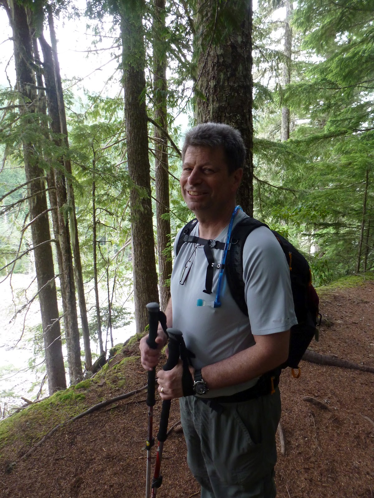
| Stop Slouching. Suck in the Gut. Who IS THIS GUY??? |
The rest of the hike is a pretty little
creek valley. Lots of little falls and rapids. And then you get to
follow this huge cliff way. Looks like a great place to rock climb,
but since there is never anyone doing that, I am probably just WRONG.


 |
| The View from the Bridge |


 |
| This creek is so lovely |


You make a left turn just before the
Muddy Branch of the Sandy and cut back across to where the loop
started. Then down on across the river and back to the car. What a
nice little hike.

 |
| On the way back, Hood peaked through for a moment. |
 |
| There is Mt Hood. Chip is so Tall. |

Don't forget to stop in the Town of
Sandy for some dinner. Calamity Jane's is nice, especially if you
like hamburgers the size of your head.
No comments:
Post a Comment