
Portland and the northern Willamette valley were socked in with fog. That and the rain and general cloudiness we have been having for the last week or so had my lovely partner itching for some sunshine. She was considering a snowshoe up on the mountain, but things weren’t looking very clear up there either. The shore however….. The shore was saying that it was going to be sunny for most of the day. In particular, Lincoln City was looking good. We like Lincoln city. A great place to spend some time on the coast. And right north of Lincoln city is one of those places where an old lava flow had made its way into the sea and is still sticking out with a 1500 foot wall of stone. This is Cascade Head.
It is almost a 2 hour drive from Portland to Cascade Head and most of that time, until we got through the mountain pass and the Van Duzer corridor, we were in fog. Once we started down the Salmon River however, which runs in the valley to the south of the mountain ridge that forms Cascade Head, all was blue sky and sunny. This is still winter, so I am not saying it was warm, but I think it was going to peak 50 later in the day.
You access the trail to Cascade head from a county park that is down 3 Rock road. This is the same park that we use when we Kayak the Salmon river. Our old Kayak club used to go hear a lot to paddle out to the beach to enjoy the sand and try our hand hat surfing some waves in our sea kayaks. I have a couple of good ‘My Girlfriend had to rescue me’ stories that happened out there 10 years ago. And yes, I was smart enough to say yes when she asked me to marry her. Not going out there without her to pull my ass out of the surf, that is for sure.
Anyway, no boats today. Today we don’t really need any of our cold weather gear, neither for sea nor for land. I brought my raincoat, but mainly as a wind breaker in case the wind was howling when we got out on the point. Cascade Head is owned by the Nature Conservatory. Do you know them? They are a private non-profit that tries to get its hands on nice pieces of land and then hold it and keep it safe. The one other time I ran into them they had acquired Santa Cruz Island in the Channel Islands off the coast of Southern California. This was back in the 80s. Since that time they have managed to transfer their ownership to the National Park service thus forming Channel Islands National Park. I think that is so neat. Now the area is officially and legally protected, hopefully for all time.

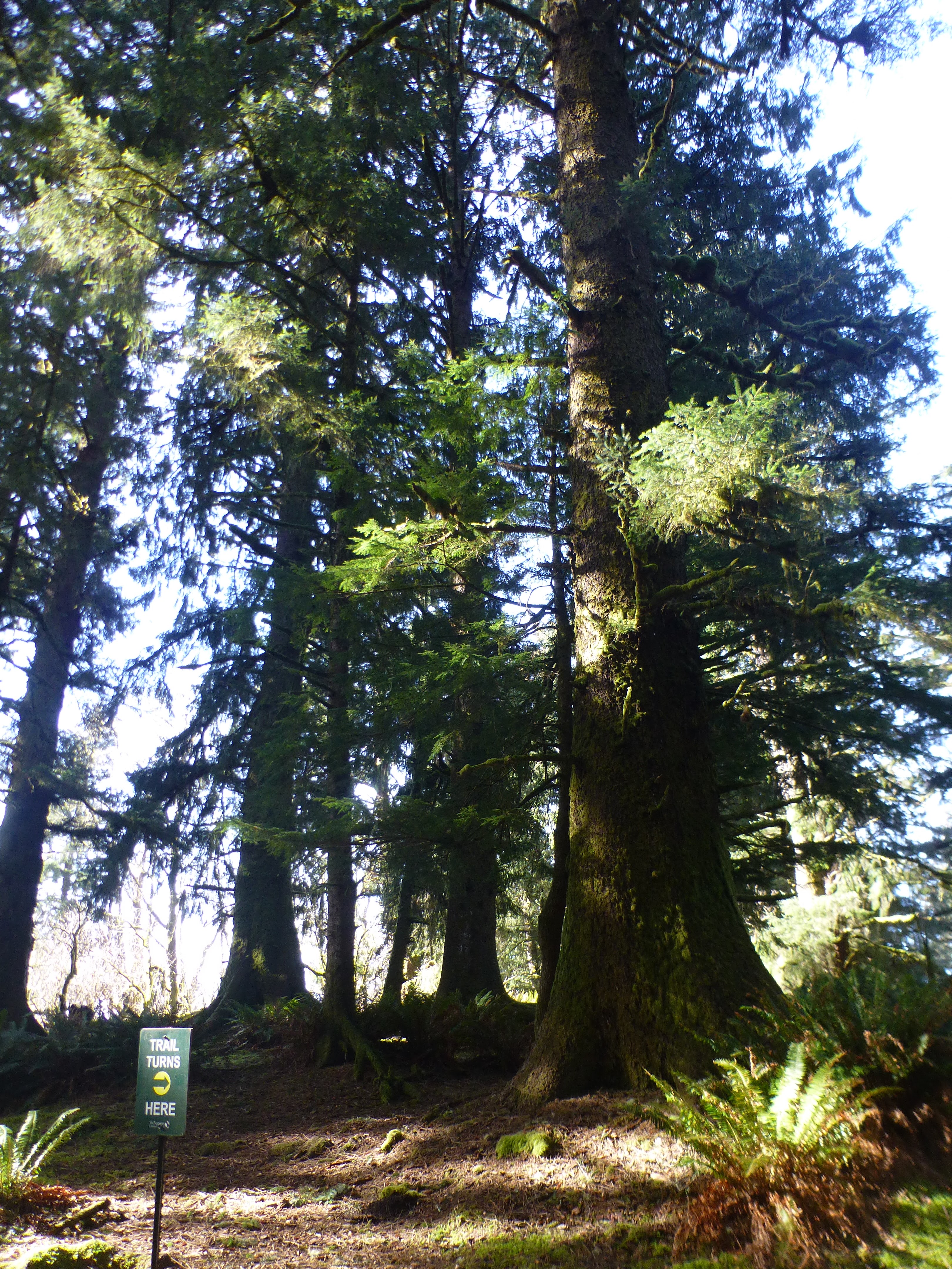
The trail out to Cascade Head is a bit of a mish mash. The first part is along the side of the road, just dipping down into a sort of swampy area but keeping pedestrians safe and off the road. After about a half mile you come to the real start of the trail. This is a few hundred yards of very steep tree root and wooden step trail that takes you up and up into a flatter area filled with old coastal Sitka. The trail is well marked. Lots of signs telling you to stay off the road and point you in the right direction. Part of the trail at this point is on National Forest land and part is through private property. But the trail is a good trail with a number (6?) of nice metal bridges taking you across the various little streams that come bouncing down from the top of the head.

 |
| Start of the real trail going up. |


 |
| Breaking out of the trees onto the head |
After about another mile you break out of the tree line and now your are at around 600 feet of elevation and in a steep to grassy field area. You suddenly have a wonderful view south. Down below you is the Salmon River and the beach at the mouth. Out in the (usually heaving) Ocean are a number of sharp rocks rising up. In the distance, down the beach, you can see Lincoln City. If you look North, and up, you can see where we are going. Way. Up. There.
 |
| Elk |
 |
| Up |
 |
| Down |

 |
| I paddled through those rocks once |

The trail goes out to a nice viewpoint that is on the crest of the Head. From here you can see over the head North and South. Down the steep cliffs to the ocean and out West to the end of Cascade Head. If you are not interesting in slugging up the last 600 feet to the top of the hill, this is a good place to eat lunch and enjoy the view. We have certainly done just that a few times in the past. But our goal for today was to go higher than either of us had been before. So we tilted our heads back and looked up and made out the orange of another backpack way the hell up there.
Ok. It isn’t really all that far. A mile or so and 600 feet. But it sure looks far from down on that viewpoint. I think it may have something to do with the fact that we could see so far. Usually you can’t see the trail that far ahead of you so you don’t know what you are in for. In this case, we could see it as it stretched up and that seemed to make it all that much further away.
The trail also gets a bit more funky at this point. It is steep and the main trail is eroded deeply into the grassy turf of the hillside. In some places the sort or narrow trail is sunk a foot or more into the ground and that makes it hard to place one foot in front of the other. There are also a couple of places where wooden stairs had been built, probably to slow erosion, but they have lots that battle and now just give the hiker and really big step to go up. Or you can go around and start a new erosion path. There are a few alternate paths once you get higher up.


 |
| way down on the beach |


The great thing about this steep climb is that it encourages you to stop ever 5 or 10 minutes to catch your breath, evaluate the importance of continuing upwards, and turn around to appreciate the incredible view. There are 4 people down there on that beach. I can see their kayaks that they arrived in. This is a glorious little beach with a lot of sand and those people have it all to themselves. Wonderful.
More people up here on the mountain. Probably because you don’t need a boat to get up here, just legs and a will.
We slug our way up until we are only a few hundred yards from the official ‘top’. But we were tired and we found a great place with green grass to sit down and enjoy the sun, the view, and our lunch. Besides, we want to save a little of the mountain to conquer next time.
Just as we sat down, the wind that had been blowing and cooling us down cut out for a few minutes and left us to luxuriate in the warmth of the sun. It was very pleasant. I spread out my red tarp and we sat and had lunch and watched the world happen way down there.

 |
| The Cliffs North |
Just as we were watching, the tide was changing down in the mouth of the Salmon River. At that moment, right as the tide changes, a big wave will come in and suddenly the tide is going in. We had the luck to see that wave and watch it travel (over 10 minutes of time, mind you) right up the river and into some sand banks. You could see the wave go over the banks and cover them and then…. Well, they were underwater until the next low tide.
Ok. The wind has picked up and we are getting a bit chilly. Time to start back down. We pull out our trekking poles and put on our packs and down the hill we go. Our poor old knees do pretty good and going down is just about always easier than going up. My what a glorious day.

No comments:
Post a Comment